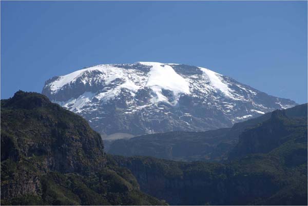
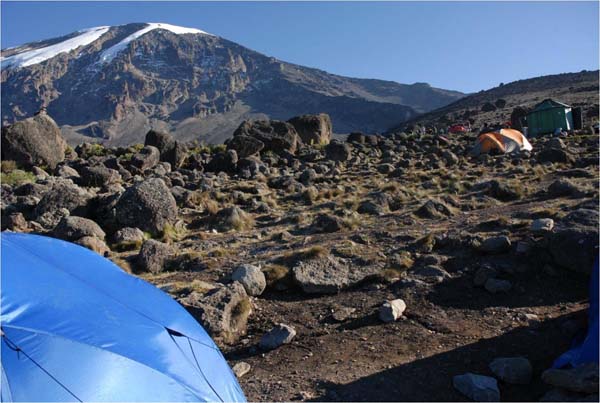
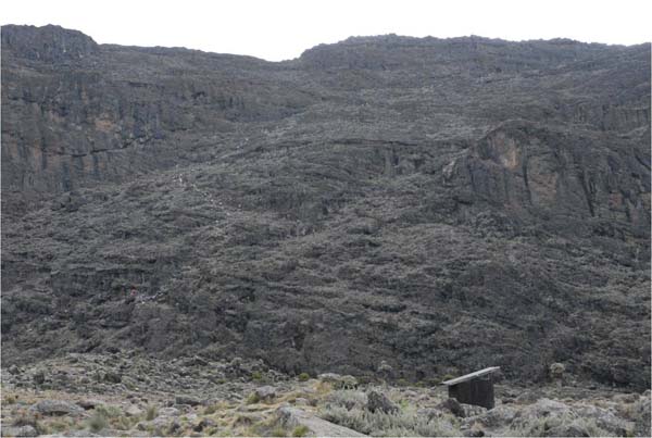
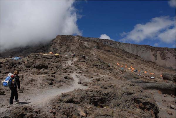
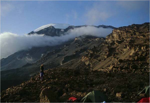
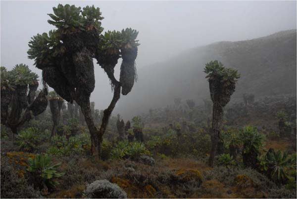
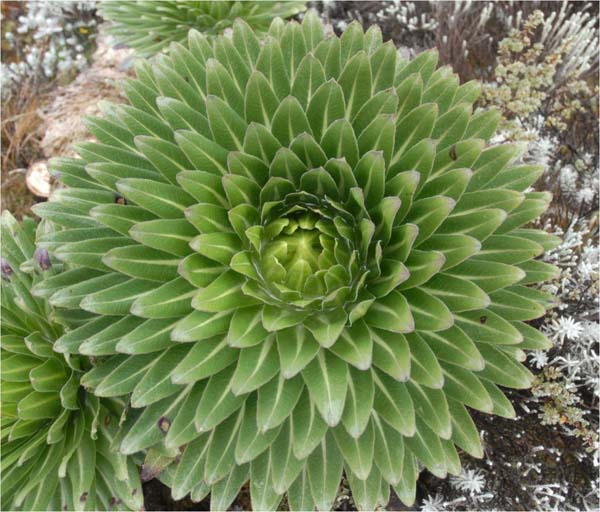
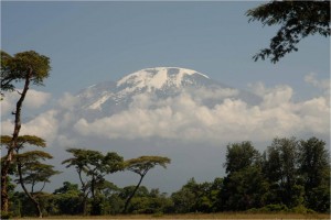
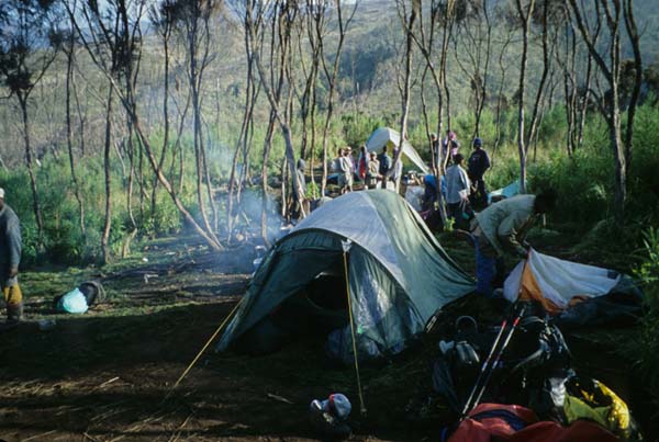
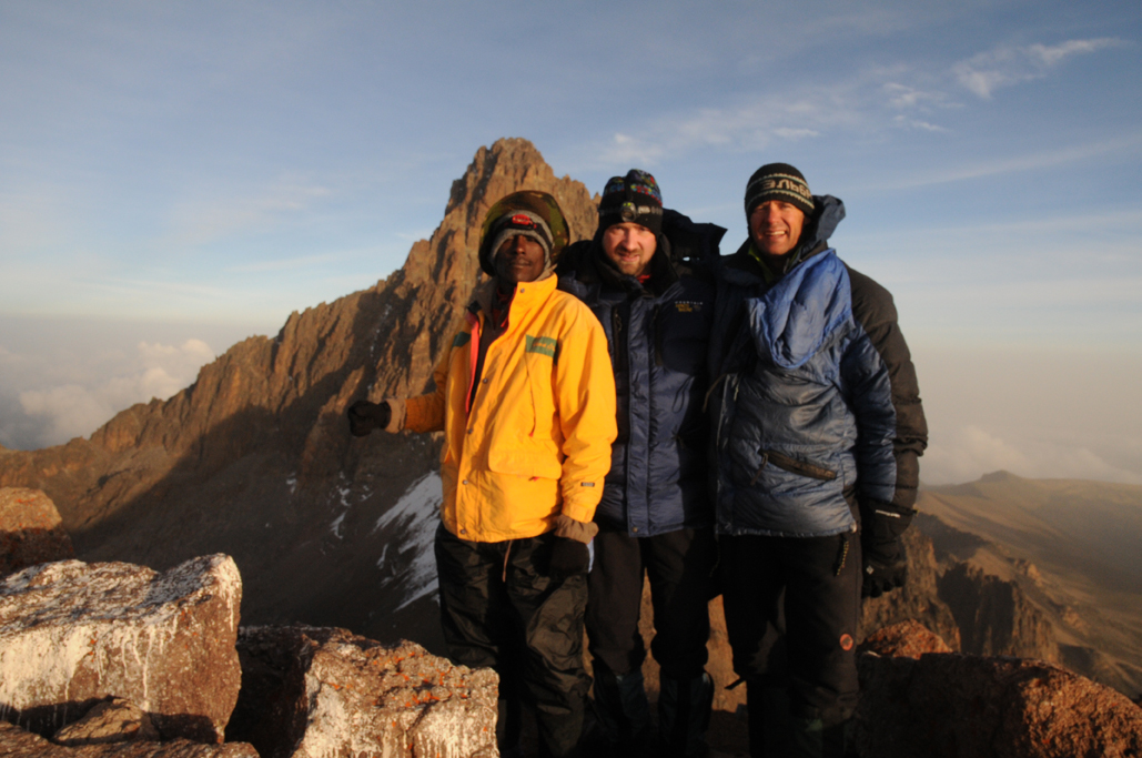
We are now down at Mweka Camp at 10,100 feet and resting. What a beautiful trek to the Summit of Kilimanjaro. See you all when we get back!
Month: June 2010
Kilimanjaro June 21-27, 2010, Day 6 SUMMIT!
At 7:00 am our time, we reached the summit of Kilimanjaro, everyone made it and all are healthy and happy. Thank you all for your prayers.
Kilimanjaro June 21-27, 2010, Day 4-5
Our team moved from Barranco camp Karanga camp 12,900 feet, and the weather remained beautiful yesterday during Day 4.
The trek took us about 3 1/2 hours and got up to about 14,000 feet as we went up Barranco wall and slowly descended down into Karanga valley and then up to camp. We got to camp in time for lunch and we were able to spend the afternoon resting and hydrating and playing cards with the porters. Then about dinner time the clouds that are normally hovering below us moved up the mountain and put us in kind of a white-out . Then the clouds moved down at about 9 pm and the moon which is almost full lit up Kilimanjaro beautifully as we went to bed.
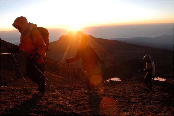
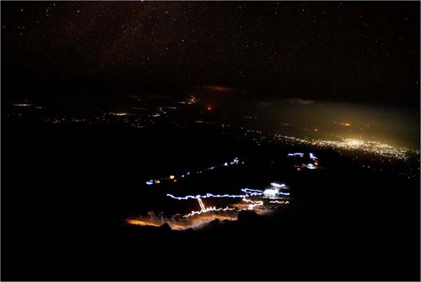
This morning day five we woke up and left around 8:30 am and arrived at our high camp Barafu at 15,300 feet. We rolled in at about 11:45 and were able to spend the rest of our afternoon resting and hydrating and preparing for our summit bid.
We will wake up in about 4 hours to make our summit attempt in the early morning hours.
Everybody is doing great feeling strong and happy we have a really nice team that has really gelled together. And we just had a wonderful time.
Just wanted to thank everybody back home keeping us in their thoughts and prayers as we make our summit attempt tomorrow.
Kilimanjaro June 21-27, 2010, Day 3
Had a wonderful day three on Kilimanjaro. We left Shira camp at 8:15 am and slowly climbed to an elevation of 14,600 feet.
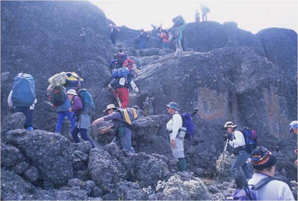
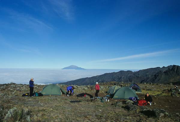
We took a couple breaks along the way and watched the vegetation thin out until the surrounding land looked like a moonscape and off in the distance was a beautiful cloud deck below that made us feel like we were on top of the world. Above us we saw the western breach wall of Kilimanjaro and some of the glaciers that are up high on the mountain and we continued climbing up to our high point of Lava Tower at 15,231 feet. We then stopped and had lunch at 12:30 after which we descended down to Barranco camp at 13,076 feet.
It was a clear afternoon as we traversed underneath the western breach wall with beautiful weather.
The sky is gorgeous tonight and I can see the Southern Cross on one side and as I look to the other side I can see the Big Dipper. It’s just beautiful out here.
Everybody on the team is doing well and healthy and we’ve been playing a local card game, called cardi, with the porters and having a great time.
Tomorrow we will head towards Karanga camp.
Updates to follow
Kilimanjaro June 21-27, 2010, Day 2
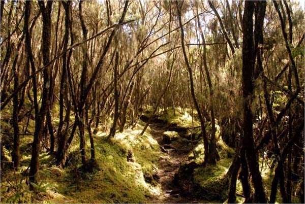
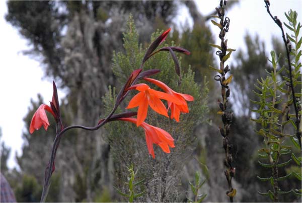
We had a very successful and memorable day 2 today, we left from our camp at the Machame Hut and went to the Shira Plateau at 12,600 feet. The entire team did a great job and we got here in the afternoon in time for tea time and to play cards with our porters. We saw lots of great scenery along the way including abundant wildflowers because the rainy season just ended here. Day three tomorrow will find us climbing to Barranco Camp.
More updates to follow.
Kilimanjaro June 21-27, 2010
Greetings from Moshi, Tanzania. Our team of Mike Crafts, Joe, Joey, & Brittany Szalkiewicz, and Kurt Wedberg are packed and ready to begin a 7-day climb of the highest mountain on the African continent. Stay tuned for updates to this blog. We will try to keep you up to date on the progress of our climb.
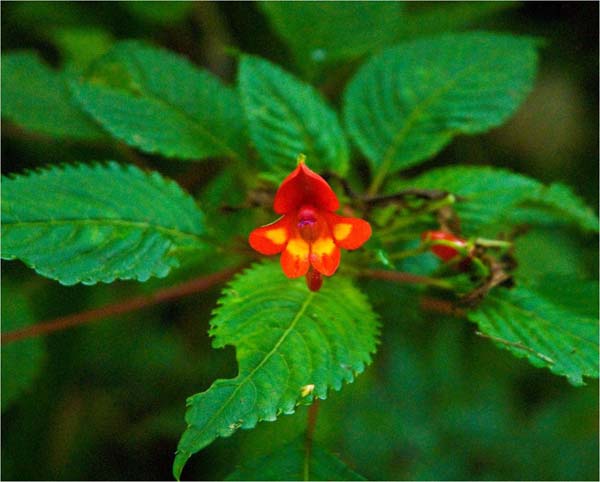
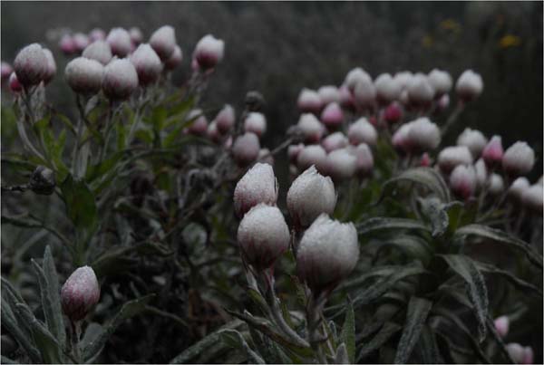
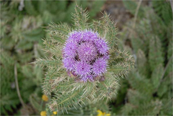
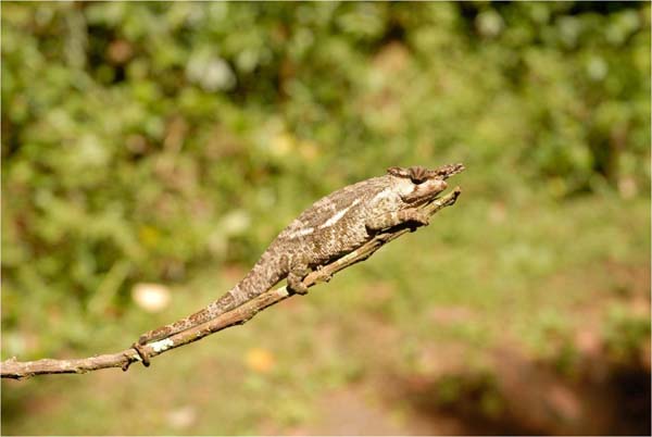
Kilimanjaro Impatients: This flower is unique to Kilimanjaro. It is the only place in the world where it lives.
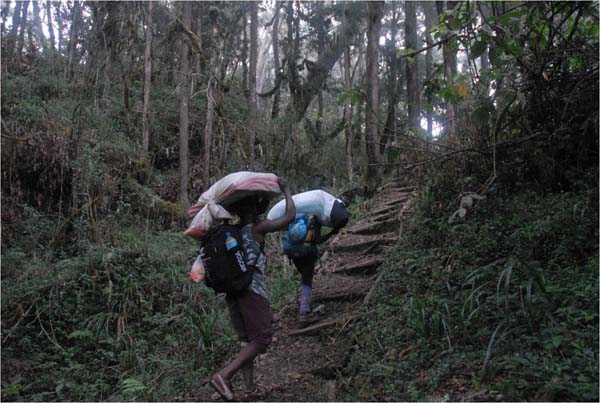
Porters: When the German Hans Meyer first climbed Kilimanjaro in 1889 it took him 40 days and he used 90 porters. He hired them from the Chagga tribe that has historically lived at the base of Kilimanjaro. This tradition still exists today with the vast majority of the porters working on Kilimanjaro coming from the Chagga tribe.
Mt. Kenya June 10-17, 2010 – Beautiful and Untamed
After winding up a very busy spring season in the Sierra it was time to pack our luggage for another trip to Africa. Our objectives on this trip include climbs of Mt. Kenya and Kilimanjaro followed by a game viewing safari. On June 10 Mike Crafts and Kurt Wedberg departed from Nairobi for Mt. Kenya National Park for a 7-day adventure through this beautiful and untamed land.
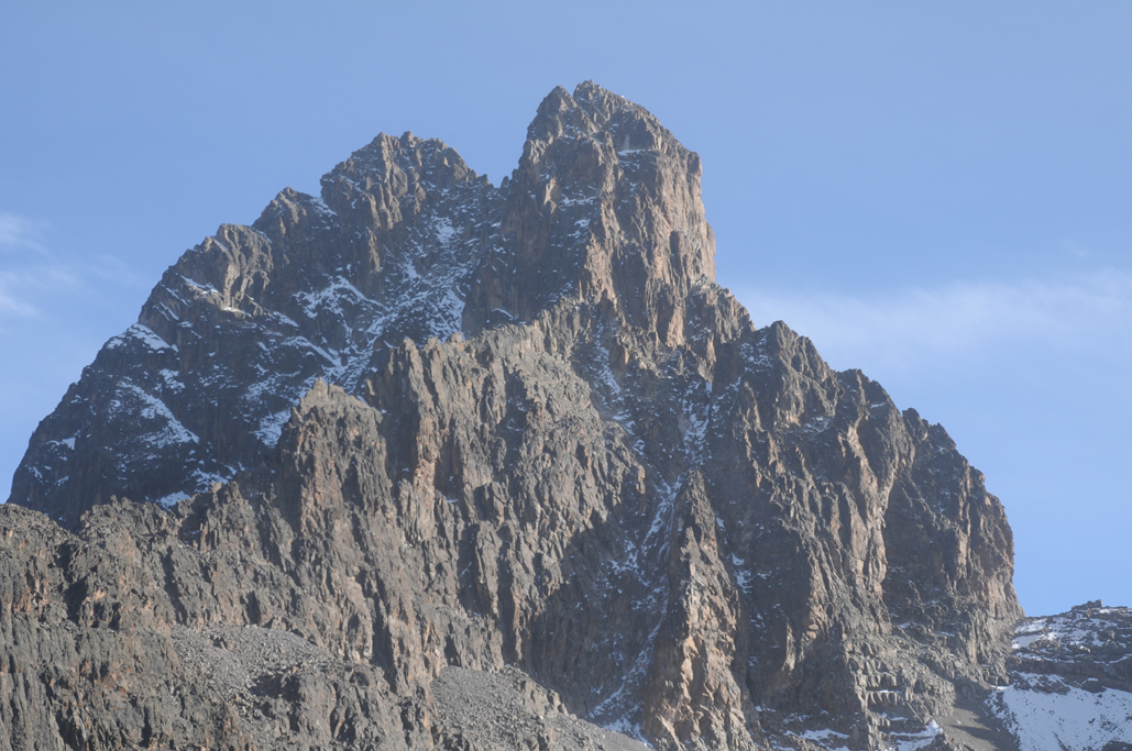
Mt. Kenya has three summits that comprise part of the rim of an extinct volcano that is thought to have been higher than Mt. Everest. The three summits are called Batian (17,058′, 5199m), Nelion (17,020′, 5188m), and Point Lenana (16,400′, 4999m). The top two require a long technical rock climb to reach their summits while Pt. Lenana is a very enjoyable trekking peak. We came with an open mind and prepared to climb any and all of the three summits of the second highest peak on the African continent.
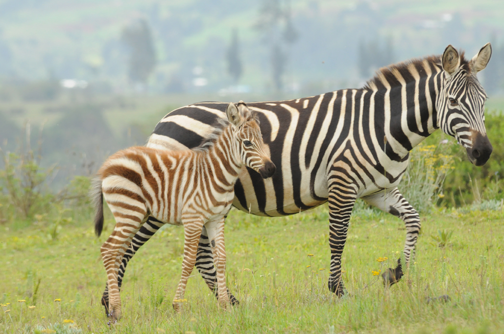
Our trek was fun and adventurous. The lower slopes of Mt. Kenya National Park feature a jungle environment teeming with wildlife. It is not uncommon to see a herd of cape buffaloes, zebras, or a couple different species of monkeys. The camps are clean and well kept with huts that have sleeping areas plus tables and chairs for eating and relaxing. Very few people visit this area and we ran into very few other parties during our time here. After two days of trekking we found ourselves at Mackinder’s Camp at 13,800′, 4200m. From here we woke early and climbed to the summit of Point Lenana under a clear and cold morning. This climb is traditionally done at night so you’re reaching the summit at sunrise which offers breathtaking views of the surrounding scenery including a nice perspective of Nelion and Batian basking in morning light. We returned to Mackinder’s Camp and prepared to move our camp higher on the following day. As we rested in the afternoon we were treated to excellent views of Batian and Nelion with the Diamond Couloir forming a dividing line of ice in between. On day 4 we ascended to the Austrian Hut at 15,720′, 4791m. This is the highest camp in the park and offers a great viewpoint of Batian and Nelion including a good look at the rock climbing route up the south face.
Feeling well we decided to hike that afternoon to the beginning of the south face route carrying climbing equipment to leave here in preparation for an attempt at this route. This required a short descent into a glacier carved valley, crossing the Lewis Glacier, then up talus and scree to the base of the route. Leaving our gear here we returned to the Austrian Hut to hydrate and make final preparations for our climb. As weather moved in dumping snow and hail that stuck to the ground we decided to use a weather day we had built in to our itinerary and use the time to further acclimatize.
Up until now this trip had been an amazing experience. We had been in a remote and very beautiful part of the world, seen an abundance of wildlife, and enjoyed the fellowship that goes along with sharing adventures with in the mountains. On this evening as we were reflecting on our experiences to this point Mike decided that seeing Batian and Nelion from the various vantage points we have had so far was enough. While climbing to the summit of Batian and Nelion was one of our goals it wasn’t the only goal. Mountaineering is about the journey and not the destination and we have so far had a very memorable adventure. The decision was made to retrieve our equipment and head out down a different route than we entered the park.
On day 6 we traversed around the Circuit Path which is a trail that circumnavigates all three summits of Mt. Kenya. As were entered new terrain the views continued to be outstanding as we discovered new facets to this diverse environment. We descended down to Shipton’s Camp (14,025′, 4275m) named after the distinguished British mountaineer who made the first ascent of Nelion in 1929. Continuing our descent down Mackinder’s Valley we ended up at 11,200′, 3413m. This camp is situated just above the jungle zone setting us up well for our final scenic day back to the park entrance.
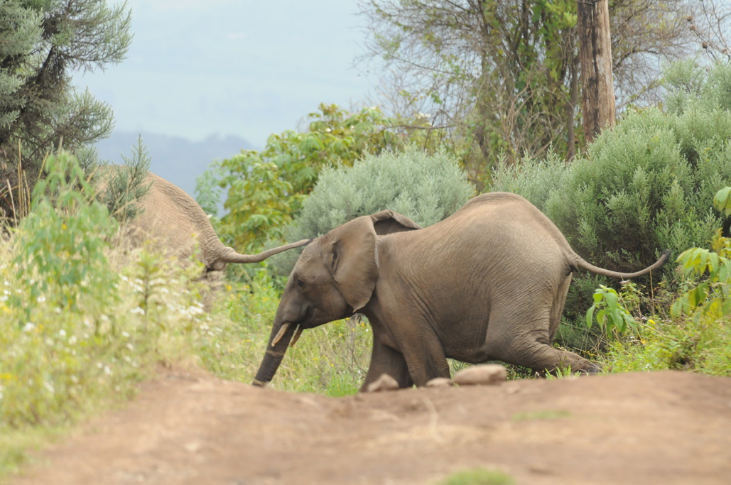
On day 7 we left Old Moses Camp and began seeing not only thicker vegetation but more signs of wildlife including recent elephant dung and tracks. Rounding a corner we heard a rustling in the bushes immediately stopped and listened. After a few moments we heard some more movement then looking down 100 yards away we saw an elephant. Hearing more rustling we realized there was a large herd nearby. Our Kenyan porters became very concerned. We then saw 30+ elephants cross our path 100 yards away. It was a rather tense moment and our staff looked truly worried. They have never encountered a site like this. While they have seen anywhere from 1-3 elephants in Mt. Kenya National Park they’ve never encountered a herd of this size before. They are trained to light a fire which is supposed to keep them at bay. They did that and we kept our distance as they crossed the trail. African elephants are very dangerous animals. They are unpredictable and very protective when calves are around. They had big males and baby calves. We don’t think they actually saw us although we can’t be sure. We are convinced the elephants knew we were somewhere close though. We ended up waiting a while then extinguished the fire and continued down quietly. As we continued down the dirt road we heard elephants in the distance. Our porters said the elephants will cross the road at a bend up ahead and if we don’t beat them there they’ll block our path. We moved quickly and quietly and got to that crucial bend in the road first. Up to that point we saw elephant tracks and heard movement in the bushes. After that turn in the road we didn’t see any more evidence of them and stopped hearing noises. Eventually the porters relaxed and were jovial again.
All the photos taken are currently being uploaded to the SMI photo gallery. The gallery will not be complete until we return home in early July Here’s the link to the gallery with what we currently have uploaded: http://kurtwedbergphotography.com/International-Expeditions/Africa/Mt-Kenya-June-2010/12592128_aHzKX#905234787_HBBpQ
Mt. Russell’s East Ridge June 5-6, 2010
After a rather stormy month of May in the Sierra we were blessed with warming temperatures, clear skies, and calm winds on the first weekend in June. The East Ridge of Mt. Russell is one of the most fun and exhilarating 3rd class climbs in the Sierra. For many Sierra aficionados this is their favorite all time 3rd class climbs. The combination of excellent quality rock, great views, fun climbing on a classic ridge, and the opportunity to climb one of the California 14ers make this climb a truly memorable experience.
Our team consisted of Cory Cline, Nathan Fletcher, Demetria Gianopoulos, and Richard Stotts plus guides Peter Douchette and Kurt Wedberg. We met at the Whitney Portal Store at 8 AM on Saturday morning. After introductions and dividing up group gear we began hiking up the North Fork of Lone Pine Creek. The creeks have never been more overflowing than they are right now. Stones we normally use to hop across the water were submerged. We all made it through the various crossings and these impasses only added to the fun and adventure of the day. The snow is all melted up to Lower Boyscout Lake. Above there the snow gets patchy. From 11,000 feet and higher the snow becomes more or less continuous. We camped at Upper Boyscout Lake which is still frozen over. We found dry ground to pitch our tents and organize ourselves for the climb in the morning.
We woke before sunrise getting an early start up the chute below Mt. Carillon. A nice tongue of snow made for good cramponing leading to the plateau below Mt. Carillon. We then traversed to the start of the East Ridge where we roped up. The route was mostly dry with a couple interspersed snow patches. We were blessed with warm pleasant weather and clear skies that offered wonderful views in every direction. Below us to the north was Lake Tuleinyo, which is the highest lake in the western hemisphere. Reaching the 14,086′, 4293m about 5 hours after leaving camp we took a break then descended the SW Chute, climbed over the Whitney/Russell Col, down to Iceberg Lake, and looped around to our camp. We packed up and descended back to Whitney Portal in time for the best burgers in the Eastern Sierra.
Here are a few pictures. The full photo gallery is here: http://kurtwedbergphotography.com/Sierra-Trips/2010-Sierra-Trips/Mt-Russell-East-Ridge-June-5-6/12462449_6ZJSb#892624479_7BSWL

The team at Whitney Portal. Back Row left to right: Cory Cline, Peter Douchette, Richard Stotts, Nathan Fletcher. In front: Demetria Gianopoulos and Kurt Wedberg

Snow Flowers or Snow Plants (Sarcodes sanguinea are actually fungus that grow off the roots of pine trees. They sprout up after the snow melts and always are a pretty site to see.

Demetria negotiating one of several creek crossings.

Nathan getting through another creek crossing of the North Fork of Lone Pine Creek.

Richard, Cory, and Peter on the Ebersbacher Ledges en route to Lower Boyscout Lake.

The team climbing the pretty granite slabs en route to Upper Boyscout Lake.

Peter, Richard, and Nathan ascending the snow tongue below Mt. Carillon. Behind is Mt. Whitney, Keeler Needle, and Day Needle basking in the early morning light.

Demetria and Cory enjoying the climbing on the East Ridge of Mt. Russell.

Nathan and Peter negotiating the 3rd class terrain on the East Ridge of Mt. Russell.

Demetria and Cory on the East Ridge of Mt. Russell with Lake Tuleinyo below.

Peter and Nathan near the top of the East Ridge of Mt. Russell.

Cory and Demetria crossing a snow patch just below the slightly lower East Summit of Mt. Russell.

Nathan and Peter shortly before the summit of Mt. Russell.

Summit photo on Mt. Russell. Back row left to right: Peter Douchette, Nathan Fletcher, Cory Cline. Front row left to right: Kurt Wedberg and Demetria Gialopoulos
Crossing the North Fork of Lone Pine Creek.

