SMI Founder Kurt Wedberg shares some thoughts on why he’s so passionate about climbing mountains
Why climb mountains? Amid all the hardships COVID brought to our lives, the pandemic of 2020 offered the opportunity for many folks to discover mountaineering. For the first time people are learning benefits that generations of outdoor lovers have known for decades. A few of those priceless lessons include invaluable benefits for physical, mental, and spiritual health. It’s also a great way to make meaningful friendships, and see first hand the importance of protecting our environment. Furthermore, it teaches lessons that can be applied to everyday life.
Mountaineering for physical health
Mountaineering requires a general level of endurance and strength. The cardiovascular and muscular systems are strengthened over time. Getting into a regular routine increases energy and stamina. This in turn adds to the enjoyment and expands opportunities for new and bigger adventures; all while gaining improved health!
Why Climb Mountains: Healthy Diet
There’s nothing like partaking in endurance activities to motivate a good diet. The human body needs food full of nutrients to function well. Meal planning is critical. Unhealthy food will not provide the fuel necessary for long summit days. Mountaineering creates a great opportunity to explore new foods and develop habits that can be used in everyday life.

Bottom row: dried mango, spicy seeds, cheese, and oranges.
Middle row: assorted nuts, smoked oysters, and avocado.
Top row: jerky, hard boiled eggs, organic energy blocks, and vials of salt & vinaigrette.
Mountaineering for Mental Health
Mental health goes hand in hand with physical health. As you increase endurance and strength you’re also gaining many benefits for mental health. Studies show exercising leads to increased energy during the day, better sleep, and sharper memories. It can have a positive impact on depression, anxiety, can help to relive stress, and boost your overall mood. It releases endorphins in the brain that energize spirits and promote feelings of calm and well-being. All of this is happening while you’re enjoying majestic and stunning views in the great outdoors!
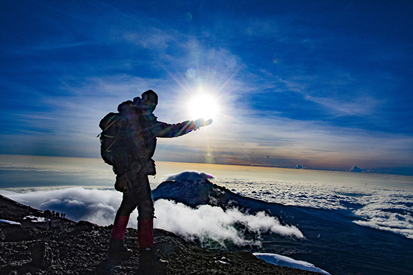
Mountaineering for Spiritual Health
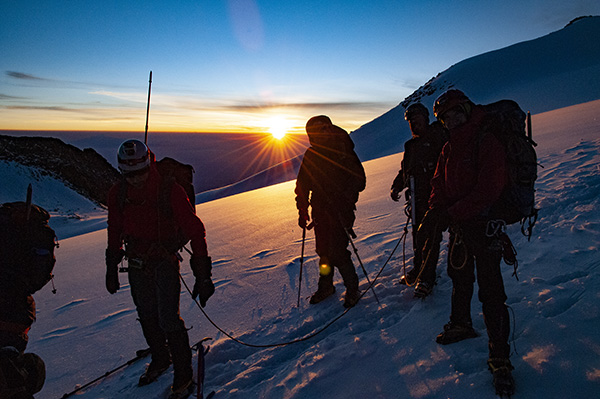
As a professional mountain guide for 34 years I’m asked why climb mountains all the time. There are many reasons such as those mentioned in this article. But, there are others that are difficult to express in words, but are also some of the most powerful. There is something deeply spiritual about removing yourself from the daily routine of life and immersing in the beauty of nature. You provide yourself the opportunity to view life from a different perspective. Situations that may have appeared as big problems transform into smaller issues amid the majesty of the mountains. When returning to your normal routine this spiritual cleansing helps make everything else more manageable.
Along with the positive health gains, mountaineering provides several other benefits that enhance your life in remarkably purposeful and worthwhile ways.
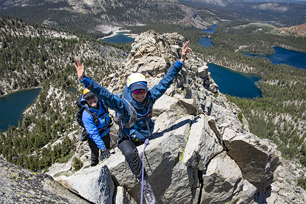
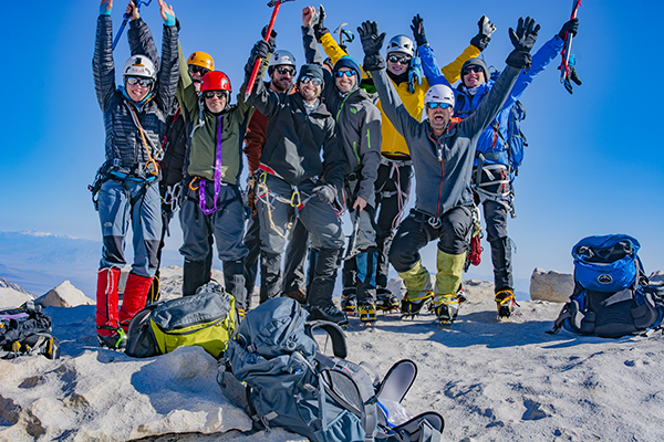
Meaningful Lifelong Friendships
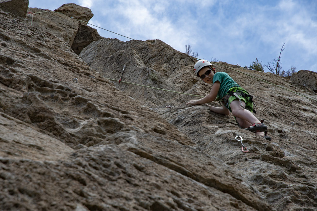
For climbers the mountains are an endless supply of pleasure and satisfaction. Mountaineers retain vitality and an enthusiastic elation for life. They’re keenly aware their experiences can never be replicated in a man-made setting. When climbers tie into a rope together something symbolic occurs that runs far deeper than the practicality of immediate safety. They are trusting each other with their lives and well-being. This creates a bond of friendship that cannot be duplicated in any other way. Sharing these rich adventures leads to unique lasting friendships.

Why climb mountains? It gives new appreciation for our environment
There is nothing like seeing firsthand a pristine vista to bring a new appreciation for our wild remote lands. John Muir founded the Sierra Club for this very reason. He knew if he could offer outings that create opportunities for people to see our wilderness they’ll actively help to preserve it. Today professional guide services offer expanded resources to experience high and remote places and to learn new skills that help broaden the possibilities available.
Mountaineering teaches patience and persistence while building self esteem
Summit days are long stretching anywhere from 8 – 16 hours. Mountaineering builds patience and persistence because it requires mental and physical stamina. When looking at a big mountain it can appear overwhelming thinking about how to climb it. However, it’s important to divide a mountain into small manageable chunks that can be ticked off one at a time in succession. As an analogy, when you’re served a large plate of food you don’t eat it in one bite. It is consumed in manageable bite sized mouthfuls. In the same way, when climbing a mountain, maintaining patience and persistence are essential. Climbs are successful by taking one step at a time and one section at a time. Accomplishing this task is a huge boost to confidence and self-esteem.
Kurt Wedberg has been a professional mountain guide for 34 years and is the founder of Sierra Mountaineering International, Inc. Based in Bishop, CA they offer mountaineering guiding and instruction in the Sierra and on high peaks worldwide.